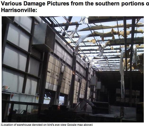
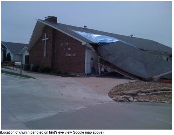
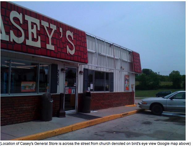
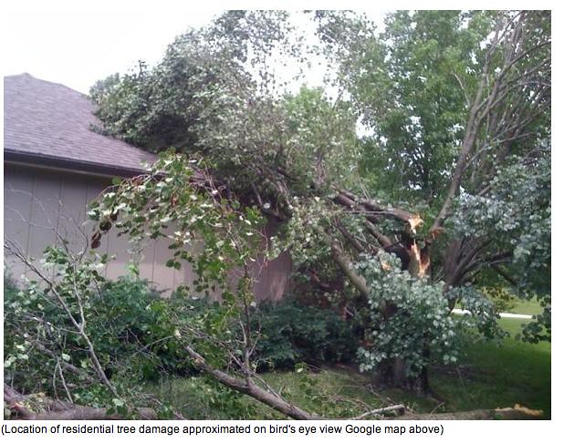
Tuesday turned into an impromtu chase day at work. We were in and documented the worst of the flooding at 103rd and State line and Wornall. During the chase, I noticed convergence on radar of a tvs marker and a meso marker which were going to cross in Cass County. We also saw what looked like a huge dirt dragging wall cloud. I even told my reporter that I thought Cass county was going to get hit. I didn't find out until I read the NWS summary a day later that I was right. A tornado did hit Cass County!
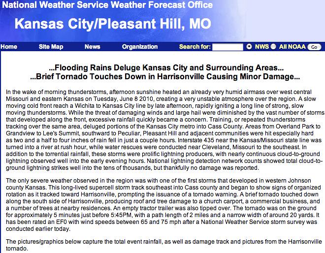
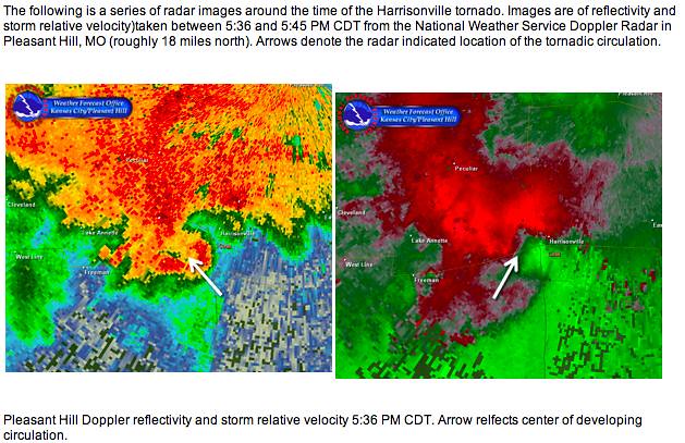
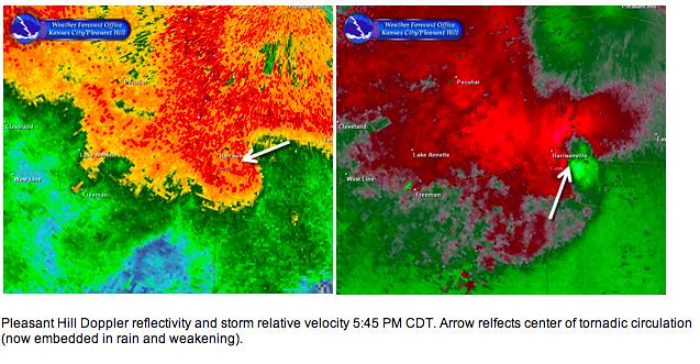
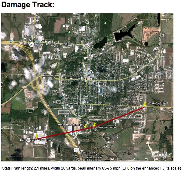
All pictures are from the National Weather Service site at Pleasant Hill, Missouri
Here's a link to a news story on the aftermath of the tornado...
http://www.youtube.com/watch?v=YD3UxhhCriY

No comments:
Post a Comment