


The Jefferson Highway catches my imagination after having traveled up and down Route 66. You mean there is a historic highway that runs right past my house? Well, maybe it isn't a route 66, but it is unique, and it passes right through Kansas City. You might even say, Kansas City is right at the center of the highway. I won't bore you with the details, they can be found here...
http://en.wikipedia.org/wiki/Jefferson_Highway
and here...
http://morrisoncountyhistory.org/history/?page_id=420
Here is the Jefferson Highway Association's homepage...
http://www.jeffersonhighway.org/jha-home/#
I think there could be great opportunity in promoting the Jefferson Highway. In our area the highway goes along the line where in the 1850's and 1860's, the states of Kansas and Missouri waged war on each other. In our pursuit of the Jefferson Highway in Harrisonville, we discovered a very touching memorial to those troubled times in the area that became known as the Burnt District. Also, the importance of music in American culture, and its influence on the world cannot be understated. However, in Kansas City, it is very understated, and under realized as a historic and economic force in this city. Kansas City's jazz heritage really lead the world through the 20th century and the influence of Kansas City's musical heritage cannot be stated enough. It was suggested that the Jefferson Highway, with it's two end cities of Winnipeg and New Orleans being very influential on the Jazz history of their respective country's, and with Kansas City in the middle plus passing through the great metro area of Minneapolis could make the Jefferson Highway the Jazz Highway. That is just something to think about.
To see all my pix on the road trip we took, which actually didn't follow the highway very well, then scroll down to the R-Cal section to Friday 13 September 2013.

Trending on Svoboda

Tima at YJ's Friday 8 April

Thursday, August 1, 2013 13:23:14


Thursday 12 September 2013
Day off, ran errands
Code Yellow
Thursday, September 12, 2013 10:31:42
Cawfeee at Headrush Roasters
Happy Rock, Missouri

Cargo Lardass
http://mapq.st/h/15UE7Zn
Thursday, September 12, 2013 11:23:03
Tima and Stella taking a pee break and shady rest by Cargo Lardass

Tima and Stella having it made in the shade.

rail fanning... trainspotting... whatever you want to call it...
Thursday, September 12, 2013 12:29:58
I really was watching trains at Cargo Lardass.

- 2013/09/12 Thursday 13:12:49
sody
http://mapq.st/h/18fN2nZ
Thursday, September 12, 2013 13:19:31
Eastern gateway to Kansas City.

Downtown

39th Street

39th Street

39th Street


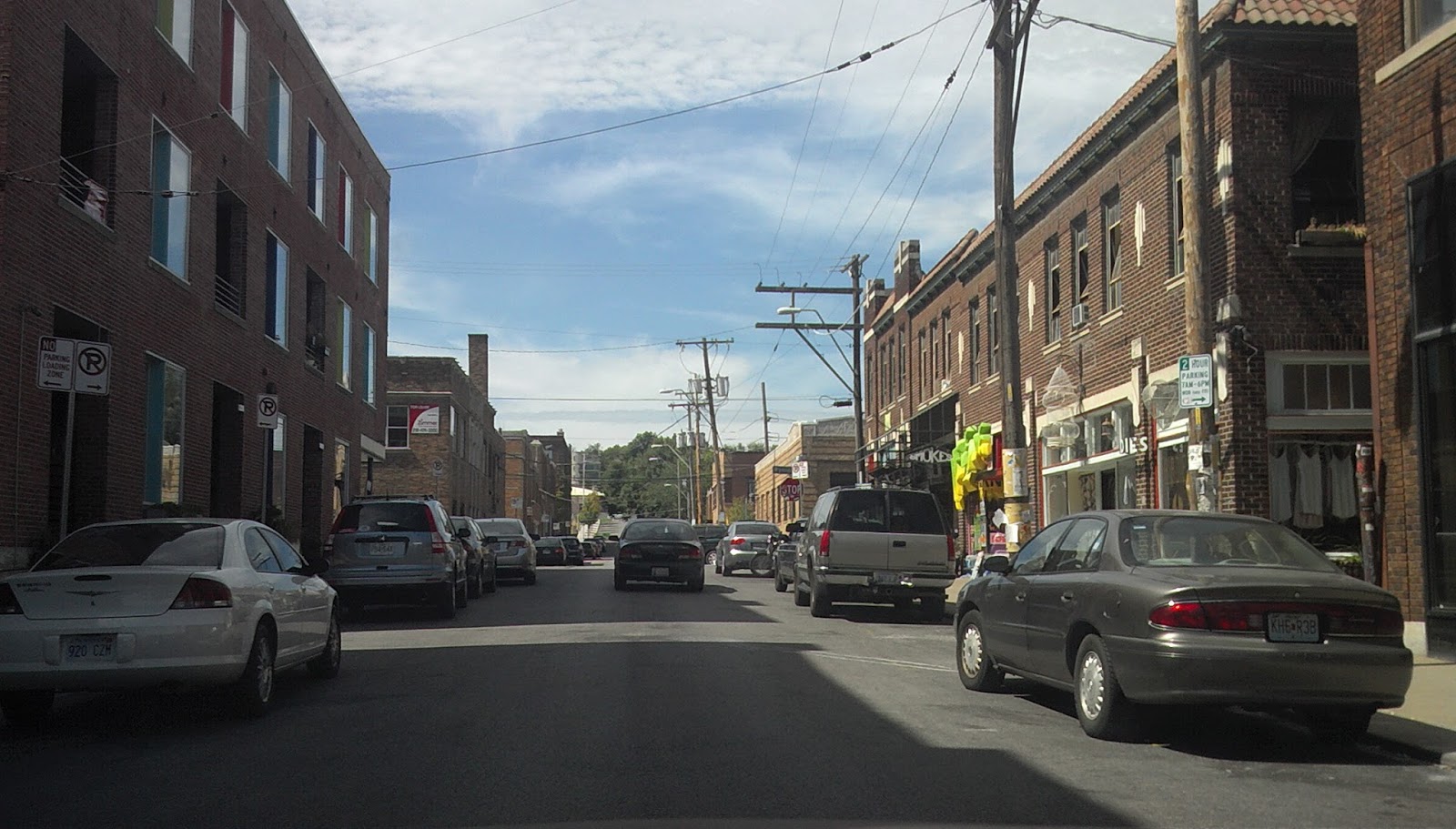
Southwest Boulevard (Jefferson Highway) through Kansas City.

Roasterie DC-3

Roasterie DC-3

Back way to the West Bottoms, KCMO

Up by the old Rock Island Freight house

The old Rock Island Freight House. The warehouse burned down in a fire.

West Bottoms, KCMO

West Bottoms, KCMO

West Bottom, KCMO

West Bottoms -- I had a loft in the white building to the right in 2001

Wifes' Enemy #3
http://mapq.st/h/18TQMIb
Thursday, September 12, 2013 14:45:46
Looking for a restaurant supply store.

Index Restaurant Supply
http://mapq.st/h/18TYiTs
Thursday, September 12, 2013 14:48:46


River Market, Kansas City, Missouri

169 Highway, Kansas City North

svo
Thursday, September 12, 2013 15:57:37

Wifes' Enemy #2
http://mapq.st/h/14PyuFy
- 2013/09/12 Thursday 17:26:44
Petsdumb and Worst Buy
http://mapq.st/h/1auNPQr
Thursday, September 12, 2013 19:23:49

Country Club Plaza, KCMO

Country Club Plaza, KCMO

Westport, KCMO

Westport, KCMO

Westport, KCMO

Westport, KCMO

Chestsport
http://mapq.st/h/14Q0WXT
Thursday, September 12, 2013 21:58:12
Penny Lane Records used to be in the art deco building to the right.

Country Club Plaza, KCMO

Country Club Plaza, KCMO

Westport, KCMO

- 2013/09/12 Thursday 23:39:12
svo
svo
Friday 13 September 2013: Jefferson Highway and the Burnt District
Ken Kenneth Mountain and I drove what we could find of the Jefferson Highway from downtown Kansas City, Missouri to Harrisonville, Missouri.
Code Yellow
- 2013/09/13 Friday 13:04:12
communist bunk
communist bunk
Friday, September 13, 2013 13:30:53
SB 169
Down Beat
http://mapq.st/h/13XFeE6
Friday, September 13, 2013 14:42:53
39th Street, Kansas City, Missouri

Southwest Boulevard, (Jefferson Highway), Kansas City, Missouri

A new old landmark on Jefferson Highway, The Roasterie DC-3 Airplane.

I-35 decking reconstruction has shown blue sky on parts of Southwest Boulevard (Jefferson Highway) that have not seen blue sky in decades.

19th and Baltimore, Kansas City Missouri

We turned up Broadway, and headed east on 12th Street, in Kansas City. 12th street is/was the main east west corridor that was also the seat of and birthplace of a lot of great Kansas City Jazz -- including the Kansas City swing sou

The real birthplace of the Kansas City sound has been demolished a long time ago (1950's) in an effort to "clean up" Kansas City's image. 12th and Paseo which is really close to the 12th street and vine which is in the song "Kansas City" was a wide open district where music played at all hours and where salesmen who visited KC from all over the US could get anything they wanted. By the way, the "crazy little women" in the them

Only a park remains with a piano key parking spot and a marker where some of the greatest music in the Western Hemisphere was created. In 1938, women with push brooms marched down this avenue signaling the beginning of the "Kansas City graveyard" period.

"Cleaning up" Kansas City means leaving behind unemployment, projects, crime, poverty and people.

Ollie Gates is making an effort to revitalize his part of Kansas City. His development has become the replacement downtown for the 12th and Vine entertainment district and the 18th and vine (formerly the black business district in segregation days) Jazz district.

We turned left on Prospect. In one of the Jefferson Highway links, I saw a reference to Independence Avenue. Not having a map, I figured (probably wrong) that the eastern branch of Jefferson Highway went through KC at 12th, to Prospect, which was a main thoroughfare, (later became US 71 through KC), then east on Independence avenue, which was t

This is the main business center for Independence Avenue in Kansas City, Missouri. It was quite the shopping district in the 50's. It is kind of an american dream factory for immigrant families to start up businesses. It is also a nightmare avenue for crime, drugs and prostititution. We turned right on US 24 (independence Avenue) and followed it east to Van Brunt Boulevard.

Here is just a sampling of some of the 50's and 60's era googie that has survived on Independence Avenue in Kansas City, Missouri.


I love the Mayfair Cleaners sign on Independence Avenue, in Kansas City, Missouri.

Indpendence avenue, Kansas City, Missouri

Independence and Van Brunt. I am not fond of 7-11's

Old Bridge across the Kansas City Terminal trackage below on Van Brunt Boulevard, in Kansas City, Missouri.


After heading south on Van Brunt, we headed east on Blue Parkway, which was US 50 -- known out west as the Lonliest road.

MO 350 (Blue Parkway -- US 50) is gritty and industrial on KC's east side.

LC's BBQ on MO 350.

There is an old art deco bar that is seeing new life after some time of abandonement on MO-350.

The dramatic Kansas City Southern arch bridge crossing over old US 50, now MO-350 in southeast Kansas City, Missouri.

There is a court cabin type motel here that probably hasn't changed much since it was built on old US 50 now mo-350


US 50 (mo 350) cuts right through Raytown, Missouri -- splitting it in half.


After Raytown, Missouri, the scenery gets gorgeous.

Knobtown at the intersection of old us 50, now MO 350, and Noland road after crossing under the Rock Island rr tracks.


Driving into Lee's Summit, Missouri

Driving into Lee's Summit, Missouri

Friday, September 13, 2013 16:44:25

Lee's Summit, Missouri. We figured the highway went right through downtown, so we took Douglas road south through town.

Downtown Lee's Summit, Missouri

291 Southbound to Harrisonville, Missouri

291 to Harrisonville, Missouri

Harrisonville, Missouri

Harrisonville, Missouri

North Commercial Street, Harrisonville, Missouri

Downtown Harrisonville, Missouri


Friday, September 13, 2013 17:39:04
We finally found a sign! There are actually several in Harrisonville.


Del Dunmires shut down restaurant on the downtown square in Harrisonville, Missouri.
http://www.ksdk.com/news/article/367692/28/Former-bank-robber-turned-millionaire-selling-town-square

Jefferson Highway marker.

Jefferson Highway Marker in downtown Harrisonville, Missouri


Looking west on the Jefferson Highway, corner of Independence Street and Mechanic Street in Harrisonville, Missouri.

Looking East on Mechanic (Jefferson Highway) from Independence Street in Harrisonville, Missouri.


Independence Street and Wall Street, just off the square in Harrisonville, Missouri.
http://www.waymarking.com/waymarks/WM5G

Tima and Stella waiting patiently for the inconsiderate photographer.

Cass County Courthouse, Harrisonville, Missouri

Downtown Square, Harrisonville, Missouri

Sculpture on one of Del Dunmires properties that is now for sale.

Jefferson Highway, heading northeast out of Harrisonville, Missouri

Jefferson Highway sign replica made from an original sign.

Corner of Orchard and Indpendence, Jefferson Highway heading south out of Harrisonville, Missouri

Corner of Orchard and Indpendence, Jefferson Highway heading south out of Harrisonville, Missouri

Looking back up Independence Street (Jefferson Highway), Harrisonville, Missouri.


Another Mural depicting the border war between Missouri and Kansas in Harrisonville, Missouri


Jefferson Highway map mural at 1201 Independence Street in Harrisonville, Missouri.

Pine to Palm Jefferson Highway mural at 1201 N Independence in Harrisonville, MO. The mural is based off the Jefferson Highway souvenir tour map


Friday, September 13, 2013 18:56:08
1201 N Independence Street, Harrisonville, Missouri

1201 N. Independence Street, Harrisonville, MO

Jefferson Highway road marking on the mural at 1201 N. Independence, in Harrisonville, Missouri.

Harrisonville railroad sign marker at 1201 N Independence, Harrisonville, Missouri

Two SD units idling at the siding at 1201 N. Independence St in Harrisonville, MO

Grade crossing at 12th and Independence in Harrisonville, Missouri.

The actual mural at 1201 N. Independence in Harrisonville, Missouri for the Jefferson Highway is hidden from the street, unless you approach it from the south, and watch closely for it. It is right at th

Friday, September 13, 2013 19:09:39
Mural downtown Harrisonville which illustrates Order Number 11, which forced the evacuation of the Missouri border counties in the late summer and early fall of 1863. This mural shows the forcing

Sun setting on Wall Street seen looking west from North Main Terrace in Harrisonville, Missouri.

Sun setting on Wall Street seen looking west from North Main Terrace in Harrisonville, Missouri.

Downtown Harrisonville, Missouri

Downtown Harrisonville, Missouri

Burnt District Memorial at the Cass County Justice center in Harrisonville, Missouri.


1201 North Independence is the brick building with the arched doorway by the high tension line pole. The Jefferson Highway mural is on the other side of the building in this picture.
Friday, September 13, 2013 18:14:17


Sunset on our way west and heading out.

We missed the ramp, so we turned around at the Cass County Justice center. We decided to stop at the Burnt District Memorial.

The Burnt District Monument
http://mapq.st/h/15r0eEe
Friday, September 13, 2013 19:32:57


18th and Highland in Kansas City, Missouri

Jazz District in Kansas City, Missouri

Gem Theater in the Jazz district in Kansas City, Missouri

Jazz district in Kansas City, Missouri


Kansas City Crossroads Arts district on 18th Street.


Saturday 14 September 2013
Worked 10 to 6
RTO: Ella the Deer Funeral
http://fox4kc.com/2013/09/14/beloved-deer-remembered-as-faithful-friend/
RTO: Ella the Deer Funeral
http://fox4kc.com/2013/09/14/beloved-deer-remembered-as-faithful-friend/
Code Yellow
Saturday, September 14, 2013 10:50:50
12th street, downtown, Kansas City, Missouri. 


Elmwood Cemetery, Kansas City, Missouri


Saturday, September 14, 2013 12:45:17


We stopped at YJ's for brunch and to log.
YJ's
http://mapq.st/h/1ddWqrL
Saturday, September 14, 2013 13:53:52
New parking garage at 17th and Wyandotte.


Sunday 15 September 2013
CWI -- KCK Bodies
http://fox4kc.com/2013/09/15/burning-mini-van-in-kck-had-two-bodies-inside/
Code Yellow
- 2013/09/15 Sunday 06:00:19
Got to make the donuts.
http://mapq.st/h/1aBBqKr
Sunday, September 15, 2013 05:50:51
Got to go make the donuts...


wonderscope
http://mapq.st/h/18o5fQo
Sunday, September 15, 2013 06:39:03
In Shawnee attempting to go live in van 4
Sunday, September 15, 2013 06:39:03
In Shawnee attempting to go live in van 4

Heading north to KCK on breaking news...

Downpour on our VO/SOT

Sunday, September 15, 2013 16:58:34
Heading home, finally.
Passing past the Coates House, downtown, Kansas City, Missouri.

Out there by the bloo watter taur

svo
Sunday, September 15, 2013 18:16:13
Early fall

More rain that we need.

Bond... Bond bridge.

assident on Blue ridge and I-49.

parents
Sunday, September 15, 2013 22:21:22


PLEASE LOOK AT AND COMMENT ON MY BLOG...
If you are interested in expressing your opinion about art, or this blog, or if you have ideas, calender updates or even blog entries, send me a message at http://www.facebook.com/Svoboda.KC TMI, BRD