
Thursday 21 April 2016: Jefferson Highway between Linden and Horton, Missouri
Links to previous trips on the Jefferson Highway...
http://svobodakc.blogspot.com/2013/09/jefferson-highway-and-burnt-district.html
http://svobodakc.blogspot.com/2014/11/you-are-traveling-on-jefferson-highway.html
http://theotherroad66.blogspot.com/2015/08/jefferson-highway-in-jackson-county-and.html
Play this playist while you peruse this blog...
First.... CAWFEE!
http://headrushroasters.com/


 Left fork towards North Kansas City
 This part looks almost rural north of North Kansas City, Missouri


To follow the Jefferson Highway you need to make a left hand turn. The maps show Admiral as the left you need, however, Admiral at Grand is one way against you here, so a left is not possible. I go one block south and a couple of blocks east to make a left hand turn north then right on Admiral where it becomes a two way street, then east to the Paseo.
Continue south on Grand to East 8th Street


Turn east on 8th

 North on Charlotte.

 The town houses on the left have been renovated in recent years

 Someday I will have to try out that burger joint, but the sketch nature of the neighborhood has kind of kept me from desiring to hang out here much...
 Follow Admiral East to the Paseo, then turn right to head south on Paseo
 Paseo is a broad boulevard in a city that prides itself with its boulevards and fountains. The Paseo was developed in the late 1800's as part of the city beautiful movement.
 South on the Paseo
 Kansas City Jazz Historic District
Kansas City -- City of Fountains...
 Southbound on the Paseo
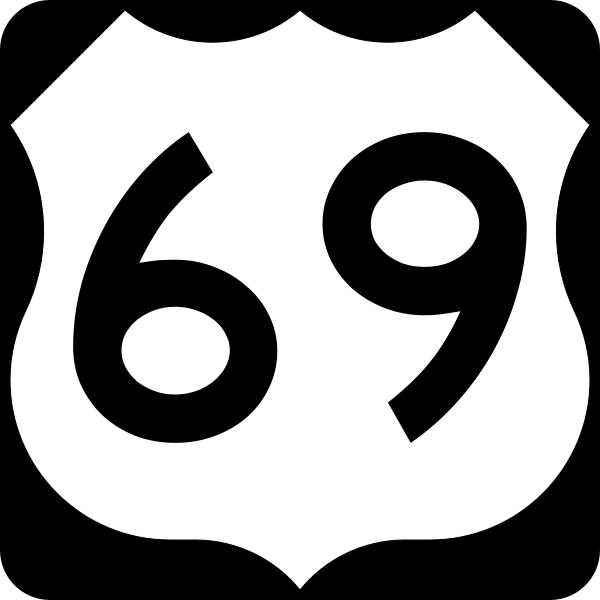
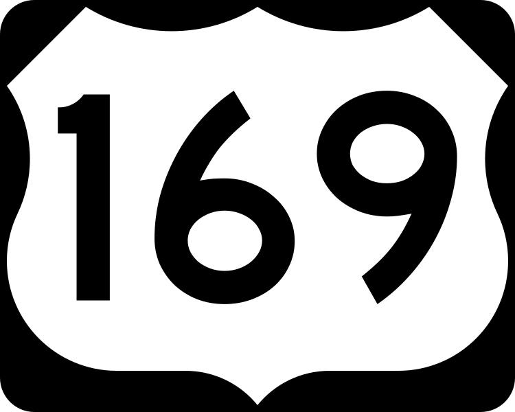
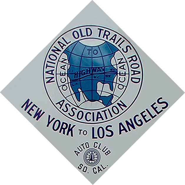
 Depending on who you talk to and what map you try to interpret, this may be one of the spots in Kansas City where the Jefferson Highway intersects with the National Old Trails Road. Another spot is Broadway and Southwest Boulevard, which turns into what used to be known as the Kansas City Road -- an old military and trading route that became the father road for US 69, US 169, I-35 as well as the National Old Trails Road and the Jefferson Highway. The Kansas City Road for parts of it is the Santa Fe Trail, which is one of the trails of the National Old Trails Road. This intersection is where, I believe, the Crossroads Arts District of Kansas City Missouri gets its name.


 Heading south on Paseo, you hit the historic Jazz District. In the days of segregation, 18th street was where African Americans went to shop and conduct important business as downtown was off limits to them. 12th Street and Vine was where a lot of clubs were. 12th and Broadway as well, but that was a place where African Americans could only play music for paying patrons. 17th and Highland, just off of where the Jazz district is today is where the music union for African Americans was, and IS. It is now called the Mutual Musicians Foundation, and every weekend after hours you can go and watch musicians play until the sun comes up. The Jefferson Highway runs from New Orleans to Winnipeg, Canada. New Orleans is the birth place of Jazz. Kansas City is the birthplace of Bebop, Kansas City swing and in many ways is the birth place of Rock -n Roll. Minneapolis/St Paul, also great musical heritage cities are on the Jefferson Highway as well. Winnipeg is the gateway city for the introduction of Jazz to Canada and to the world. It is not hard to imagine that Jazz traveled up the Jefferson Highway, was incubated in Kansas City and made it's way north and outward. For this, I like to think of the Jefferson Highway as the Jazz Highway, and it is not hard to imagine the markings for the Jefferson Highway to be used for the marquee sign for a big band playing Jazz to the world.

 Paseo YMCA is where the Negro Leagues was founded and the Negro Leagues Baseball Museum is in the Jazz District
 Of course, everybody around here has heard of, or fondly remembers Buck O'Neil.
 After visiting the historic Jazz District, continue heading south on the Paseo.
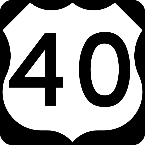
 The Paseo intersects with 31st Street, which at one time (after the Jefferson Highway era) was the main east west highway into town -- US 40, otherwise known as the Victory Highway.

 I like the gas station on the southeast corner of the Paseo and 31st street, which seems to be a part of the church grounds. One block south of here at 31st and Linwood is an iconic traffic signal
 Turn left on 31st street and continue on east


 A few googie signs harken back to this roads days as a US Highway, before it was bypassed by Interstate 70 in the 50's and 60's

 There once was a surplus store on the south side of Independence, Missouri called Wild Woody's. It grew into a mini chain of sorts. Wild Woody's Happy Foods is a googie grocery store found in a place that many businesses have forsaken.
 Heading east on 31st street brings you to a strange 5 way intersection, which was and is a major crossroads on the east side of town.
 You head east on 31st and before you get to this intersection which comes on you quick, especially in traffic, you have to get in the far right hand lane and veer right on North Stadium drive. It is very easy to miss and find yourself turning too soon on Emanuel Cleaver II Boulevard or Hardesty Avenue. North Stadium is the 3rd road as you approach from the west.


 Downtown Leeds...
 Leeds is bordered on the west by the Blue River, which sometimes inundates the surrounding areas but much of that has abated with channelization. The east side is bordered by Railroad tracks and to the Northeast is the stadium complex.


Stadium Drive crosses under the railroad bed just after the Leeds plant. This again is another interesting intersection. You have to turn right here, which is actually kind of a jog to the southeast on Raytown Road. After crossing under the railroad bridge, look across the street to another railroad overpass. That is the road bed for the Rock Island Railroad and is an interesting, if somewhat low, arched underpass.
The Rock Island overpass can be seen in this intersection shot. Stadium Drive continues under the overpass and leads to the Stadiums. This area can be congested during Royals or Chiefs games. To continue on the Jefferson Highway, make a jog to the right on Raytown Road, the road with beyond the Yield sign in this picture.
 Immediately after Leeds, Raytown Road becomes a picturesque rural looking lane.
 Continue southeast on Raytown Road.


 The passageway into Raytown is pretty straight forward. You follow Raytown Road southeast into town. At about 59th street, you find you have transitioned from Raytown Road to Raytown Trafficway. No turns are involved, the road just changes its name for all intents and purposes.
 Heading into downtown Raytown on Raytown Trafficway.
 When Raytown Trafficway comes into downtown, turn left on East 63rd Street to continue following the Jefferson Highway.
 Immediately after the turn on East 63rd Street, you cross over the road bed of the Rock Island Railroad. The old road bed is inactive, but is still listed as a railroad. It is rail banked, which means the railroad still owns it and pays taxes on it, but it is not being used, but may be used in the future for rail traffic. There has been talk of turning it into a bicycle trail that would connect with the KATY Trail in Windsor, Missouri. However, despite the promises that many home buyers hear from Real Estate agents, if you buy property that adjoins the old Rock Island, beware. You may have trains running through your back yard some day.
 Turn east on East 63rd Street in Raytown.

 Fox's Drugs at the corner of Raytown Road and East 63rd Street in Raytown, Missouri
 Follow East 63rd east through downtown Raytown.
 Follow East 63rd Street east until Woodson Road, then turn right on Woodson.

 Your stay on Woodson is very brief -- about 2 blocks, then there will be a V intersection -- take the left fork which is Little Blue Road and follow it. By now the scenery is becoming wooded countryside with some farms and suburban houses sprinkled in.
 Woodson to Little Blue Road


 You follow Little Blue east to Noland Road, then Turn right to head south on Noland.
 Intersection of Little Blue and Noland
 Turn right on Noland after Little Blue.

Noland Road south.
 Take Noland Road south to Little Blue, turn left on Little Blue. Here you will cross a small unincorporated village, which is now actually with the Kansas City limits.
 Little Blue


 Little Blue consists of some nice old houses, what looks like an old general store with living quarters above, a small storefront next door and a garage. The power pole that is leaning needs a Jefferson Highway marker on it.


 Little Blue Road meanders southeast through some really pretty countryside.


 Take NW County Road 1001 South to West Main Street, turn right to head east into Adrian, Missouri.

 Main Street, Archie, Missouri


 Motel on Old US 71
 Pictures are a little out of sync due to the clock on one of my cameras not being quite right


 I took East Main street to Old US Highway 71 southbound.


 It is time to take what I euphamistically call a 'piss stop.' Get it.. piss stop instead of pit stop. Didn't want it huh? Well the description is apt and accurate. We have been on the road for quite a long time without stopping. We stopped at Caseys. I generally look for Quick Trips or Casey's. I break my local only rule for gas stations. A lot of small gas stations can be nasty, especially in the bathrooms. Plus, we have had our card skimmed at a local gas station in Louisiana. So, unfortunately, it spoils it for mom and pop gas stations everywhere.


 Ooops, gotta turn around.... again!

 Passaic, Missouri


 Again, we find ourselves on an old gravel farm road.


 X marks the spot


 After admiring the Jefferson Highway marker, it is on into downtown Butler to wind the clock.


 The south part of South Main street out of downtown has yet another detour, due to, I think a building demolition or collapse.


 South Main street quickly becomes, yes, you guessed it, a gravel road. The worst is yet to come!
South Main Street south to NE 504 East which is a right hand turn.


 You take SE 515 to SE 1506. Turn left to head east on SE 1506.


Track of the Jefferson Highway
Links to previous trips on the Jefferson Highway...
http://svobodakc.blogspot.com/2013/09/jefferson-highway-and-burnt-district.html
http://svobodakc.blogspot.com/2014/11/you-are-traveling-on-jefferson-highway.html
http://theotherroad66.blogspot.com/2015/08/jefferson-highway-in-jackson-county-and.html
Play this playist while you peruse this blog...
First.... CAWFEE!
http://headrushroasters.com/
Linden, Missouri
Gladstone, Missouri
From Wikipedia, the free encyclopedia
I took what I think is the Jefferson Highway south out of Gladstone (Linden) down North Oak to the place where it turns southeast into North Kansas City, Missouri.
North Kansas City, Missouri
From Wikipedia, the free encyclopedia
The Jefferson Highway makes a right hand turn as you head south at 14th Street.
Heading across the river on the Heart of America Bridge (1987) you pass the old Armor - Swift - Burlington Bridge, which the Heart of America replaced...
ASB Bridge
From Wikipedia, the free encyclopedia
Exiting on Third Street, the River Market area of Kansas City is reached north of downtown. In this area the roadbed is shared with the new Kansas City streetcar. At third, a left turn is made on Grand, heading south into downtown.
East on 3rd
South on Grand
Downtown Kansas City, Missouri
Cross over the north part of the downtown loop on the Grand overpass
To follow the Jefferson Highway you need to make a left hand turn. The maps show Admiral as the left you need, however, Admiral at Grand is one way against you here, so a left is not possible. I go one block south and a couple of blocks east to make a left hand turn north then right on Admiral where it becomes a two way street, then east to the Paseo.
Continue south on Grand to East 8th Street
Turn east on 8th
Turn right on Admiral
Cross over the northeast part of the downtown Loop via the overpass, continue heading east on Admiral
Kansas City -- City of Fountains...


East on 31st Street
Stadium Drive becomes industrial as it heads southeast into Leeds. Frankly, this area has seen much better days.
Leeds
Leeds was a working class blue collar town that was enveloped by Kansas City, Missouri. It was the home of General Motor's Leeds plant until 1988. It has been prone to flooding from the Blue River and is mainly a post industrial area.
Former Leeds General Motors Assembly Plant
Leeds
Stadium Drive crosses under the railroad bed just after the Leeds plant. This again is another interesting intersection. You have to turn right here, which is actually kind of a jog to the southeast on Raytown Road. After crossing under the railroad bridge, look across the street to another railroad overpass. That is the road bed for the Rock Island Railroad and is an interesting, if somewhat low, arched underpass.
The Rock Island overpass can be seen in this intersection shot. Stadium Drive continues under the overpass and leads to the Stadiums. This area can be congested during Royals or Chiefs games. To continue on the Jefferson Highway, make a jog to the right on Raytown Road, the road with beyond the Yield sign in this picture.
Raytown, Missouri
From Wikipedia, the free encyclopedia
Raytown was a crossroads village that didn't really get incorporated until 1950. Fox's Drugs has a real life soda fountain and grill inside, so it is old school as far as that goes and a nice place to visit.
Intersection of East 63rd and Woodson, turn right on Woodson to head south about 2 blocks
Little Blue Road is a gently winding country road and is very pretty in the spring, summer and fall.
Little Blue
It seems not much has changed here since the days of the Jefferson Highway. This could be a movie set for the road, except I'm afraid it is paved here.Noland Road south.
"downtown" Little Blue
As of my visit to this part of Jackson County, there is a detour due to some construction. Little Blue Road zigs southeast and intersects Lee's Summit Road at Truman Medical Center east, which is a really old hospital.
The detour is long. Detour signs always want to take you straight to an interstate highway, which I wanted to avoid, so I had to weedle my way around the airport.
Eventually I came via Colburn Road to Douglas avenue into Lee's Summit. Left on Douglas, which is the road with the detour, and south into Lee's Summit. Follow Little Blue road down, and careful not to take the y intersection east on Woods Chapel Road. Little Blue curves east and intersects Lee's Summit Road. Normally you would take a right on Lee's Summit, but these days it is blocked with no outlets as they are blocked too. So I had to take the detour straight on NW Gregory Boulevard which becomes NE Gregory which curves east into NE Woods Chapel Road. To avoid taking I-470, turn right on NE Ralph Powell Road which heads south by the east side of Lee's Summit airport. South of 83rd Street, NE Ralph Powell Road becomes NE Independence Avenue. Take this south to NE Colburn Road, turn right on Colburn to Douglas Road to resume traveling on the Jefferson Highway. Take that left (south) into Lee's Summit.
Lee's Summit, Missouri
From Wikipedia, the free encyclopedia
Take Douglas Road south into Lee's Summit. Look for the Jefferson Highway signs. There is one north of downtown.
Take Douglas Road south to SE Second street. Downtown Lee's Summit is a nice place to get out, walk around and visit. Jefferson Highway actually goes around downtown. Take 2nd Street Southwest under the UP (MoPac) tracks (which serves Amtrak). The depot is a great place to train watch. It is one block SE of 2nd on Main.
2nd Street runs southwest under the tracks, then 3 blocks to Southwest Jefferson Street. The name is a dead giveaway. Also, about a block after the turn is a Jefferson Highway sign.
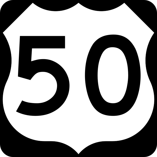
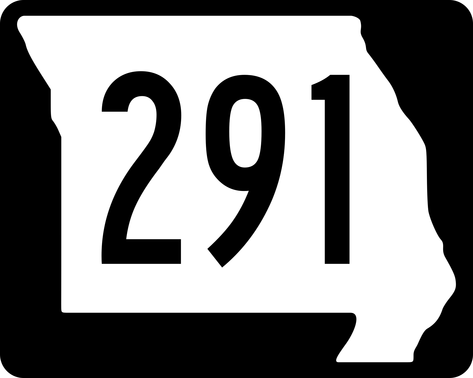
Jefferson Street heads southeast past the west side of downtown Lee's Summit and makes a jog to the right. You cross over the US 50/Mo 291 Overpass and get ready to make a left hand turn right after that. There are lights at both ends of the overpass.
In the State of Nevada, US 50 is known as "the Lonliest Road in America."
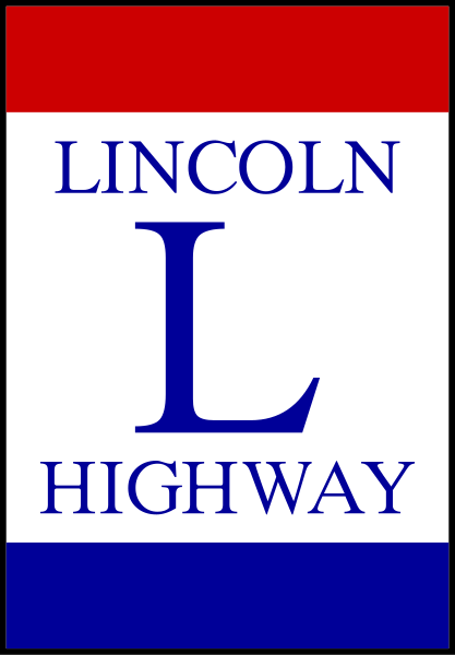
Some of the predecessor roads are the Lincoln Highway....
The Midland Trail....
and the National Old Trails Road...
After the overpass, turn right then immediately jog left to head south on Jefferson Street.
Here you will approach an old train station stop known as South Lea. Here is a link to a flickr river that includes some information on South Lea...
...annnnd again, another detour....
I had to detour one turn north of where I needed to turn. I turned left on Southwest Scherer road, then right on MO 291.
Detour at South Lea....
Southbound on MO 291
When you enter Cass County, MO 291 narrows from a 4 lane divided highway to a 2 lane road at the town of Lake Winnebago.
You follow this course south until East 215th Street, where you turn left.
South on MO 291 to East 215th Street...
Turn east (left) on East 215th street, then turn right on South Home Farm Road and go south.
Turn off at S. Home Farm Road from East 215th Street. You take this course for the purpose of staying as true a possible to the original highway. However, in all reality, there isn't much point to taking this little detour, and you can continue going south on Mo 291 if you really want to.
South Home Farm Road goes south and intersects back with MO 291. Careful crossing back onto the highway here as the cars are going highway speed and at certain times of day it is quite busy. You have to yield to oncoming traffic.
You take MO 291 South to East 225th Street. Don't bypass this, as this will take you to the Jefferson Highway access into Harrisonville.
Turn left to head east on East 225th Street from MO 291.
East 225th Street takes you to a T-intersection, with a definitely recognizable name on the cross street. Turn right and head south on South Jefferson Parkway.
Jefferson Parkway and East 225th street in Cass County, Missouri.
Southbound on South Jefferson Parkway.
As if you weren't really sure if you were on the alignment of the old Jefferson Highway, somebody has considerately given you another sign to go by...
This sign is at Waters Street and South Jefferson Parkway. Harrisonville, Missouri is another town that hasn't forgotten the old road.
Continue heading south on South Jefferson Parkway into Harrisonville, Missouri.
Harrisonville, Missouri
From Wikipedia, the free encyclopedia
South Jefferson Parkway ends at Locust Street/North Independence Street in Harrisonville, Missouri. Now, I have gotten confused here and turned right instead of left. It is so easy to do. Make a left here to head east.
North Independence curves to the south and heads into town. At the curve, before you cross the Missouri North Arkansas Railway tracks, there is a stop you want to make if you have the time, over on the left. You will not see it as you head south, so pull into the little parking lot and get out to take pictures of the mural. Please be respectful as it is private property.
Jefferson Highway mural in north Harrisonville, Missouri.
I let the doggies out to stretch their legs while we all took a break and I took some pictures and a video of a Missouri & Northern Arkansas Local approaching the crossing...
After a while, it was time to head further south into Harrisonville.
The Jefferson Highway follows along the west side of the fine downtown square in Harrisonville, Missouri. However, on this day, I found the third detour of the day.
Harrisonville Missouri downtown Square.
When there isn't a detour, go ahead and "wind the clock."
Cass County Missouri Courthouse
Mural dedicated to the burning of this area by Union Forces in 1863 during the civil war under General Order Number 11...
I had to detour one block west of downtown to get south. There was, but I am not sure if there still is a Jefferson Highway marker at the corner of Independence Street and Mechanic. The construction may have removed or destroyed the sign.
North Independence Street becomes South Independence stret
Another Jefferson Highway Marker in Harrisonville, Missouri.
Take South Independence Street to Orchard Road. Here you will find another Jefferson Highway sign leading the way. Jog right onto Orchard and it will take you southeast out of Harrisonville, Missouri.
Orchard Road eventually turns to the south and intersects with E275th Street/Missouri 7 highway.
Turn Left on Missouri 7.
Here is the first place you will find yourself taking an interstate highway south. I-49 is a descendent road to the Jefferson Highway. It has, in recent years become an interstate. It evolved into an interstate highway from US 71.
It is a rather incomplete and broken up interstate road....
I-49 South
You take I-49 south to the exit ramp for East 307th street. Take a right on the outer road to head south from here.
Now occurs an interesting problem, which is not the last time I run into this one. When the map was drawn, I don't know when, I-49 was US 71. Since US 71 became an interstate, access across the highway became blocked, being that interstates are limited access. So that means that where the Jefferson Highway switches from the east outer road to the west outer road in this case, then there is no good way to get there, except by detour, which can be a rather lengthy affair. So please bear in mind these variances from the path until a better map can be drawn. In such cases, it is probably better to stay on the interstate.
First of several interstate detours...
I ended up taking E 335th street east, which is a gravel farm road.
That took me to T-highway south. I went through the small community of Austin, Missouri
I followed T-Highway to E 347th Street (route B) and turned left to head west back towards the highway... I crossed over the south Grand River and Under I-49 and found myself in Archie, Missouri. I backtracked back up the old US 71 highway to be a "purist" and not miss any part of the Jefferson Highway on my map. In the future, my "purist" tendencies waned with lack of time and patience...
Archie, Missouri
From Wikipedia, the free encyclopedia
Backtracking up old US 71.
I came to where the crossover should be and turned around. I realized if I had looked ahead on my map as I was heading south previously there was an overpass I could have taken.
Interesting sign in north Archie, Missouri.
Remains of Old US 71 through Archie, Missouri.
Downtown Archie, Missouri
Heading south into Archie, you take Old US Highway 71 to East Maple Street. Turn right to head west on East Maple. Take it easy through here as it is residential with lots of kids playing in the streets. Turn left to head south on North Truman Road. Then Turn Left to head west on High School Avenue. Finally, turn Left on South Main Street, pass through downtown and head south. Here you will find yourself on a gravel road.
I absent mindedly turned right on East Pine, and had to turn around to get back on the Jefferson Highway, which isn't much of a highway here. I think here you will get a taste of what the old auto trails were like as the road is gravel and dirt.
Jefferson Highway heading south out of Archie. Not much has changed in a hundred years.
One of the railroad crossovers at East 355th street south of Archie, Missouri.
Let's emphasize the trail part of the term auto trail. Hard to think of this as a highway...
You take South Main south to County Road NW 16502, and make a left turn to head west.
County Road NW 16502 turns south before intersecting Highway AA. Turn right to head east. It is good to get off the gravel for a little while.
Somewhere around here we have crossed over into Bates County, Missouri
Bates County, Missouri
From Wikipedia, the free encyclopedia
Heading East on AA highway.
The trip on paved road was short lived. Now you have to make a right hand turn to head south on NW 1001 Road.
Heading south on NW 1001 Road into Adrian, Missouri
Adrian, Missouri
From Wikipedia, the free encyclopedia
Downtown Archie, Missouri
Casey's General store -- Oasis of convenience and relief
Doggies need a break too...
I continued to head south on old 71, only to find a dead end. So, It was back on I-49.
I-49 Southbound from Adrian, Missouri. Next exit is Passaic.
From Wikipedia, the free encyclopedia
South on I-49 to the exit for F Highway. There you will come into Passaic, which is an interesting little crossroads. There is a little rv park, and an iconic looking gas station.
Jefferson Highway is a zig zaggy road. It sometimes meanders without much reason. You think it should logically go straight sometimes, but it doesn't. Such is the case according to the map I was using, into Butler. Southward out of Passaic on the outer road until you cross under I-49. Then there is an interesting immediate turn to the left to head northeast to county road NE 6004 which curves to the east.
East on County Road NE 6004
Take NE County Road 6004 to North Main Street.
Butler, Missouri
From Wikipedia, the free encyclopedia
Coming into town is a very pleasant surprise...
I wish we could see these all up and down the highway. But, we have to find it first. Time to re-discover.
"Winding the Clock" in downtown Butler before heading south out of town...
South Main Street south to NE 504 East which is a right hand turn.
NE 504 to NE 1193 which is a right hand turn to head south.
South on NE 1998 to MO 52, which you cut across and end up heading south on YY.
YY quickly turns to shit. If I remember right, there was a dour sign saying pavement ends... and boy does it!
I was sort of looking forward to visiting this part of the road. I had a little trepidation at what I might find. It looked interesting on the maps. What I found was that it had rained a couple of days ago. The road here are bottom flood land access roads for farm trucks -- barely passable. Someone asked me why farmers prefer 4 wheel drive vehicles. This is why. I was in the van, and I had to gun it to make it through. I barely made it on these boggy roads.
After crossing the Marias Des Cygnes River, the roads improve slowly...
Back to civilization, at B Highway, you barely kiss Rich Hill. I went west a little to check out an interesting looking motel.
Again, gravel and dirt.....
South on the road that is straight, but changes names several times becoming S 1600 Road.
Eventually you turn right on East Bailey Road...
You turn left on S 1500 Road then back right or west on the road to the east outer road of I-49. Take that south (left) to Horton, Missouri. It is a small village. There is an interesting looking old post office. About this time, the Mrs. called me telling me she was about to get off work. My goal for the day was to get as far south as I could. So Horton was it. This would be our starting point tomorrow. I wish I had made it to Nevada, at least, but oh well.
Horton, Missouri
From Wikipedia, the free encyclopedia
Back home on I-49. Continue tomorrow...
Track of the Jefferson Highway
No comments:
Post a Comment